Nepal Tour

Nepal is rich in cultural and natural diversity. A landlocked country located in South Asia with China in the north and India in the south, east, and west. Geographically, Nepal is divided into three east-west ecological zones: the Northern Range (mountains), the Mid-Range (hills), and the Southern Range (flat land). The geographic boundary of Nepal starts from the southern flat plains in Terai Mukhiya Patti Musharniya of Dhanusha District at 59 m and the sky-piercing peaks of the Himalayas within a breadth of 200 km in the north at 8848.48 m on Mt. Sagarmatha. Sagarmatha is the highest point on Earth.

Nepal's cultural heritage has evolved over the centuries. This multi-dimensional heritage encompasses the diversities of Nepal’s ethnic, tribal, and social groups and manifests in music and dance, art and craft, folklore and folktales, languages and literature, philosophy and religion, festivals and celebrations, and foods and drinks. The 2011 Census listed a population of around 28 million belonging to 125 castes and more than 101 ethnic groups speaking 123 languages and dialects, making Nepal one of the most culturally diverse countries.

From Tarai (59M to 305M) Further north, the Siwalik zone (700–1,500 m) and the Mahabharat range (1,500–2,700 m) give way to the duns (valleys) known as the Inner Terai, such as Trijuga, Sindhuli, Chitwan, Dang, and Surkhet. The Midlands (600–3,500 m), north of the Mahabharat range, are the beautiful valleys of Kathmandu and Pokhara. The mountainous region starts at 3000 meters, leading up to the alpine pastures and temperate forests limited by the tree line at 4,000 meters and the snow line at 5000 meters. The inner Himalayan valleys (above 3,600 m), such as Mustang and Dolpo, are cold deserts sharing topographical characteristics with the Tibetan plateau.

8 Days Nepal Tour

8 Days Nepal Tour

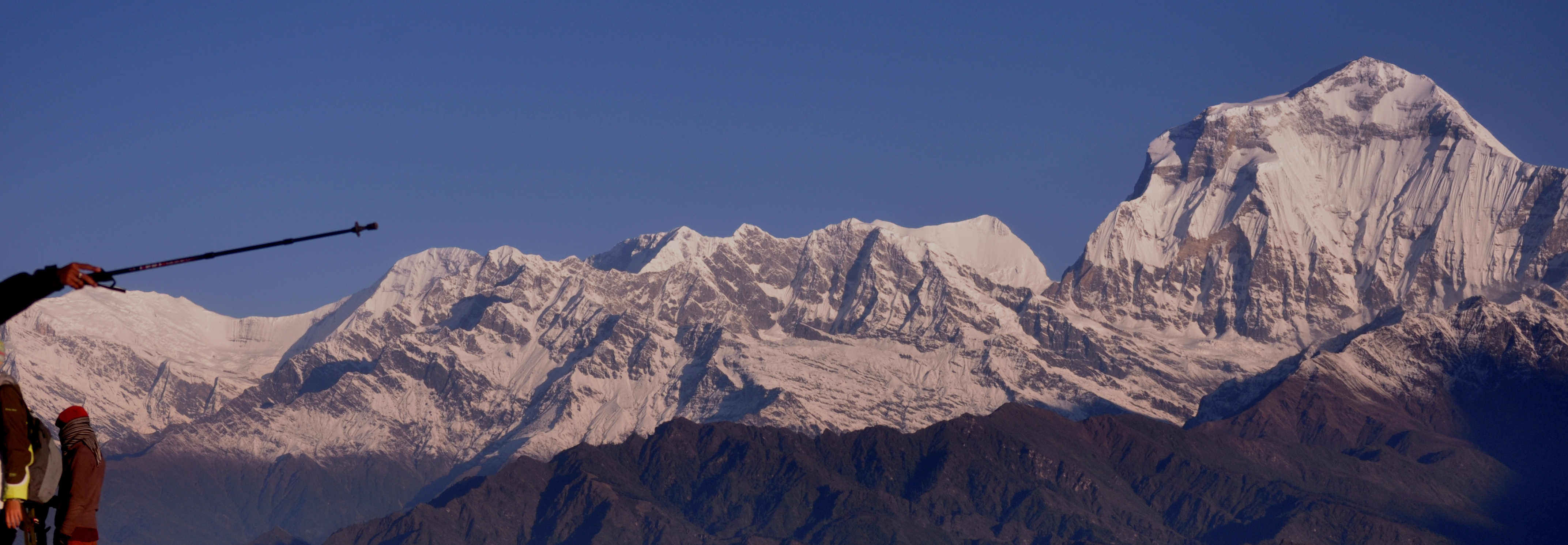
In our 8-day journey, we will explore the Northern Range (mountains), the Mid-Range (hills), and the Southern Range (flat land). 

Popular Tour Place

Nepali Trails

//